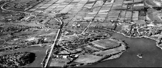
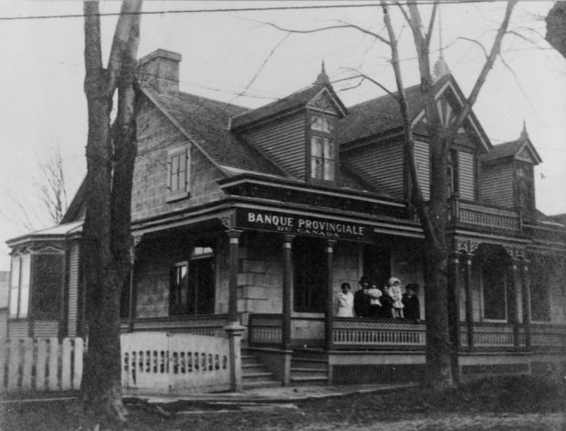
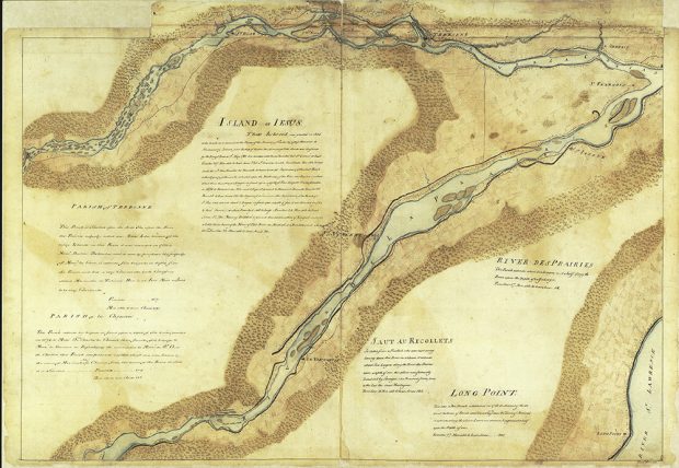
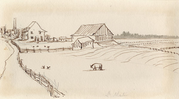
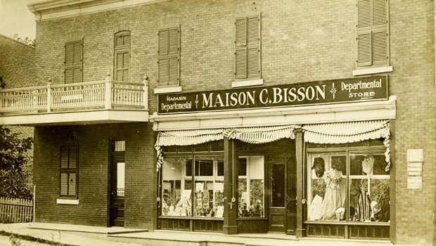
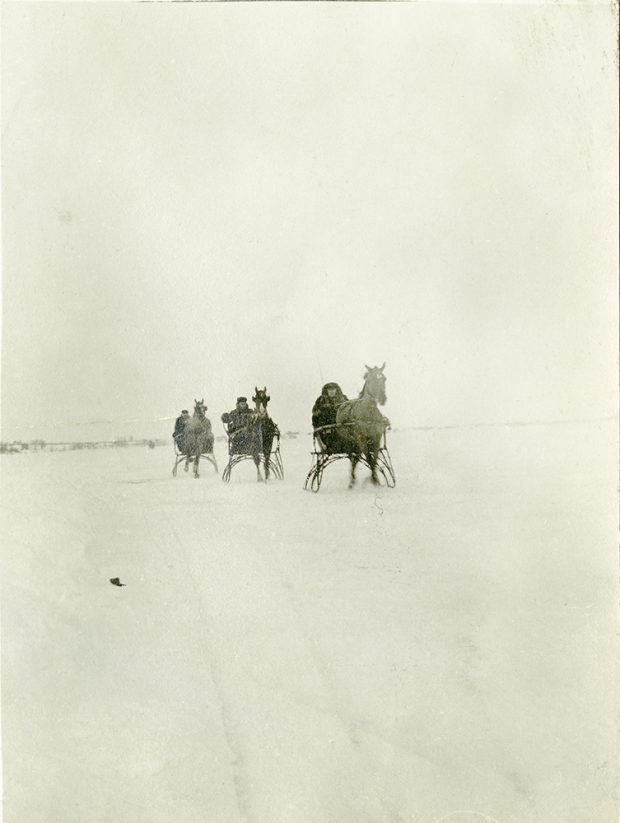
Gallery

Please browse the gallery below to see all of the images, videos and audio recordings about Laval’s economic history. Click on the various elements to enlarge the images and read the descriptions, or to listen to and view the audio and video recordings.
Black and white photo of an aerial view of Sainte-Dorothée and the Laval islands.
Black and white photo of an ancestral house. It served as a branch of the Provincial Bank of Canada. A family is standing on the front porch.
Yellow and brown-tinted vintage map featuring the eastern half of Île Jésus and the Island of Montreal. It includes a census for Île Jésus and the parishes of Terrebonne, Lachenaie, Saut-au-Récollet and Long Point.
Vintage ink drawing of an agricultural landscape. In the foreground, there is a large fenced-off field with farm animals. In the background, a barn, a house and, in the distance, a factory can be seen.
Digitized excerpt from a report by Jean Talon.
Vintage black and white photograph of stone ruins on the shores of a river. This is a former mill that was destroyed. On the top of the white border are the handwritten words “Rivière-des-Prairies.”
Watercolour painting of the Du Crochet Mill in Saint-François-de-Sales. It is a large white building with a brown roof located beside a river.
Old black and white photograph of a dozen lumberjacks in the forest. On the left, a man is sitting on a rock and leaning on a peavey.
Vintage sepia photograph of a department store display window on the ground floor of a building. The sign says Maison C. Bisson.
Vintage black and white photograph. Three people travelling by winter calèche on a snow-covered frozen river.
Sepia vintage photograph. It shows two cars on two reaction ferries that travelled between the eastern end of Île Jésus and the village of Sault-au-Récollet on the Island of Montreal. In the lower right-hand corner, the following handwritten words appear: “La traverse Saint-Vincent-de-Paul” [Saint-Vincent-de-Paul ferry].
Black and white photograph of an old arch bridge connecting Sainte-Rose to Bélair. At the bottom of the photograph are the handwritten inscriptions “Pont Plessis-Bélair” [Plessis Bélair Bridge] on the left and “St-Rose” on the right.
  1. Page 1 of 4
  2. 1
  3. 2
  4. 3
  5. 4